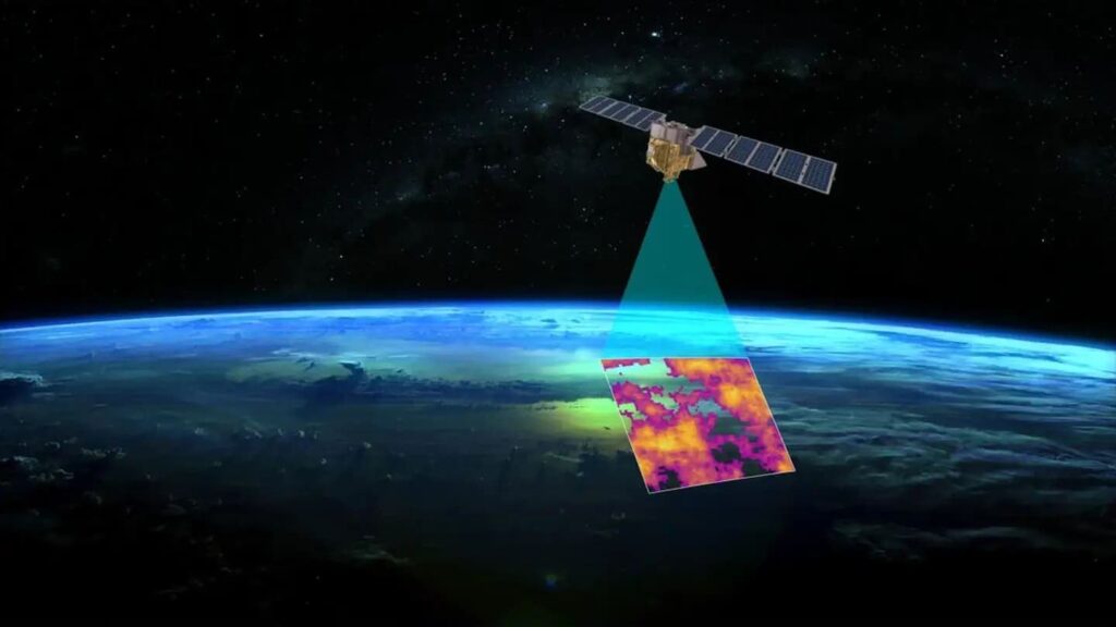
Methane, a potent greenhouse gas, remains a formidable challenge in the fight against climate change. Whether emanating from industrial livestock operations or fossil fuel extraction sites, methane emissions contribute significantly to global warming, accounting for approximately 30 percent of the Earth’s climate issues. Yet, tracking these elusive emissions poses a monumental challenge, given their invisibility to the human eye and the limitations of existing satellite technology. However, a groundbreaking collaboration between Google and the Environmental Defense Fund (EDF) seeks to revolutionize our understanding of methane pollution by harnessing the power of artificial intelligence (AI) and satellite imagery.
Announced in a recent blog post, the MethaneSAT project represents a pioneering effort to deploy AI-enhanced satellite technology for the precise detection and quantification of methane emissions worldwide. Spearheaded by Google’s Vice President and General Manager of Geo Developer & Sustainability, Yael Maguire, MethaneSAT promises to deliver invaluable data to researchers and policymakers, offering unprecedented insights into methane sources and their dispersion in the atmosphere.
The sophistication of MethaneSAT lies in its ability to monitor both large-scale methane emitters and dispersed sources across vast territories. This capability is made possible through advanced algorithmic software developed by the EDF in collaboration with researchers from the Smithsonian Astrophysical Observatory and Harvard University’s School of Engineering and Applied Science. Powered by state-of-the-art supercomputers, the AI system can analyze satellite imagery to pinpoint methane emissions at specific locations and track their movement with unparalleled accuracy.
Scheduled for launch aboard a SpaceX Falcon 9 rocket, MethaneSAT represents a fusion of cutting-edge technology and environmental stewardship. Orbiting the Earth at an altitude of over 350 miles and traveling at speeds exceeding 1,600 mph, the satellite will conduct 15 orbits per day, capturing real-time data on methane concentrations across the globe. Beyond emission detection, MethaneSAT will also assist in mapping oil and gas infrastructure, identifying key sources of methane leakage and informing targeted mitigation efforts.
The synergy between AI algorithms and satellite imagery is poised to revolutionize environmental monitoring, offering a dynamic tool for identifying and addressing methane hotspots. By overlaying methane emission data with comprehensive maps of oil and gas facilities, researchers can gain valuable insights into the factors driving methane pollution and prioritize interventions accordingly. This integrated approach, akin to the functionality of Google Maps, promises to enhance our understanding of methane sources and facilitate more effective mitigation strategies.
The significance of MethaneSAT extends beyond its technological prowess—it represents a collaborative effort to confront one of the most pressing environmental challenges of our time. By making the resulting data accessible through platforms like the MethaneSAT website and Google Earth Engine, stakeholders worldwide can leverage this information to drive informed decision-making and policy action. Moreover, by integrating methane emission data with other environmental datasets, such as land cover and waterways, MethaneSAT will enable holistic assessments of climate change impacts and inform strategies for resilience and adaptation.
In conclusion, MethaneSAT embodies the convergence of AI innovation and environmental advocacy, offering a beacon of hope in the fight against methane pollution and climate change. As we embark on this groundbreaking mission to map the invisible, let us harness the power of technology to safeguard our planet for future generations. With MethaneSAT leading the way, we can chart a course towards a more sustainable and resilient future, where the skies are clear, and our air is clean.